
Tripcamps
The limestone massif of Doi Chiang Dao
Difficult

Doi Chiang Dao Trek

A steep climb up Thailand's third-highest peak, a dramatic limestone massif with wild orchids and panoramic ridge camping.

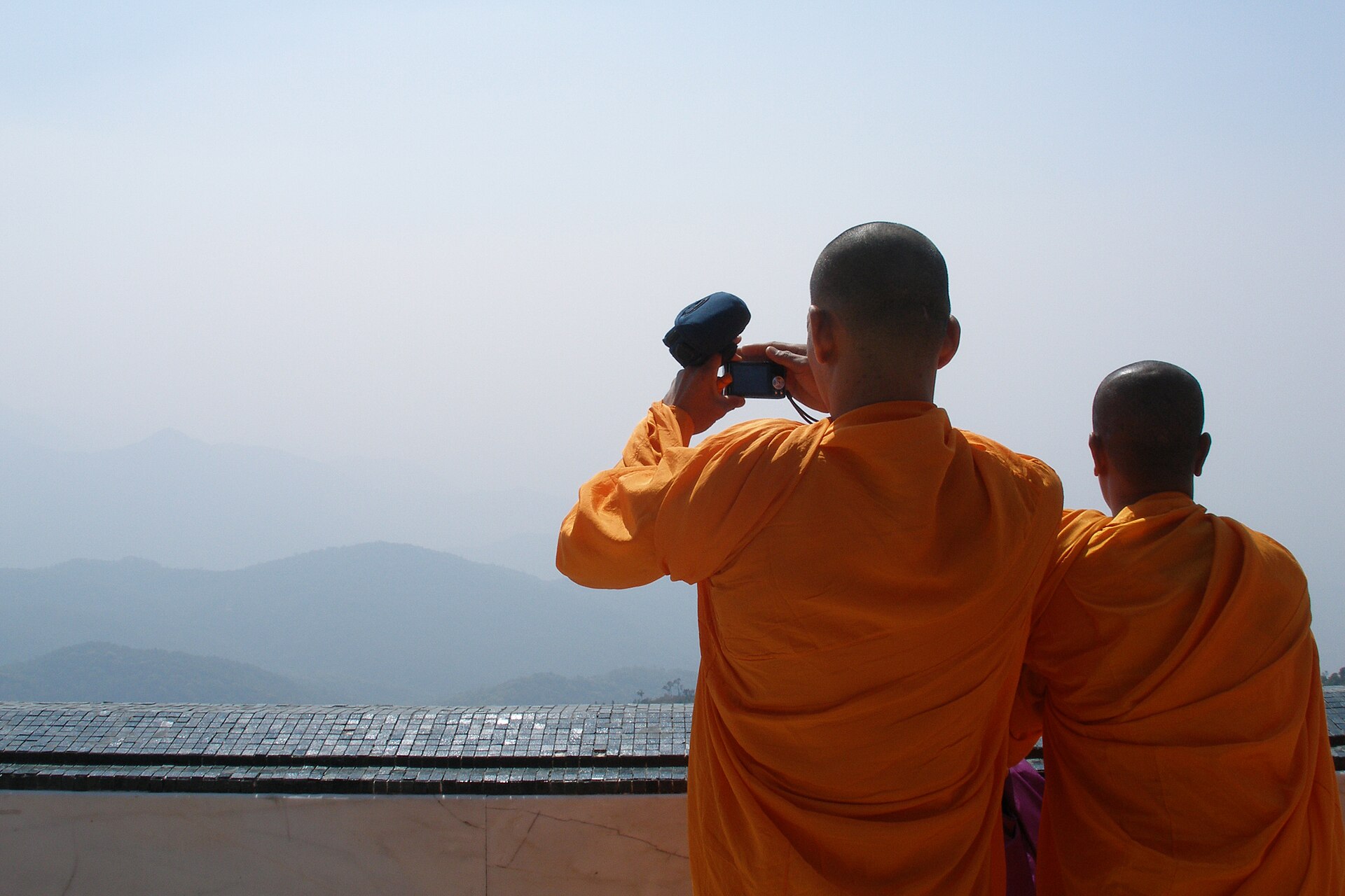
Photo: KOSIN SUKHUM (CC BY-SA 4.0) · source

3 DaysDuration
2,175 mMax Altitude
22 kmDistance
November, December, January, FebruaryBest Season

Doi Chiang Dao is Thailand’s third-highest mountain and, by most trekkers’ accounts, its most dramatic — a sheer limestone massif that rises abruptly from the surrounding lowlands rather than blending into a gradual mountain range. Unlike the smooth, rounded cloud-forest climb of Doi Inthanon, this is a genuinely demanding trek: steep, exposed limestone terrain, a longer daily distance, and camping directly on an open ridge rather than in a village.

The mountain sits inside the Chiang Dao Wildlife Sanctuary, and access is deliberately restricted to protect its unusual limestone-adapted ecosystem — wild orchids, rhododendrons, and plant species found nowhere else in Thailand cling to the rock faces along the route. A mandatory local guide and advance permit keep group sizes small, which in turn makes the ridge-top camp one of the most peaceful overnight spots in the region, with views stretching over the Chiang Dao valley and, on the clearest evenings, as far as the hills marking the Myanmar border.

This is the trek to choose for trekkers who’ve done Doi Inthanon and want something with more physical demand and a wilder feel. The cool season window (November–February) is essentially mandatory, both for comfortable ridge camping temperatures and because the sanctuary limits access outside this period.
Highlights

  • Summit of Doi Chiang Dao, a sheer limestone massif visible for miles
  • Ridge-top camping with views over the Chiang Dao valley
  • Rare limestone-adapted flora, including wild orchids and rhododendrons
  • A quieter, more technical alternative to Doi Inthanon

Day-by-Day Itinerary

  1. 1

    Day 1: Chiang Dao to base camp

    A steep ascent through dry dipterocarp and pine forest from the trailhead near Chiang Dao town to a forested base camp at around 1,800m.

  2. 2

    Day 2: Base camp to summit ridge and ridge camp

    A demanding climb up exposed limestone terrain to the 2,175m summit ridge, with panoramic views over the valley below, before descending slightly to a scenic ridge campsite.

  3. 3

    Day 3: Descent to Chiang Dao

    A long descent back through the forest trail to the trailhead, returning to Chiang Dao town by afternoon.

How to Reach

Chiang Dao town is about 1.5 hours' drive north of Chiang Mai on the road toward the Myanmar border, reachable by private transfer, songthaew, or local bus.

Permits & Essentials

Doi Chiang Dao lies within a wildlife sanctuary with restricted access — a permit and mandatory local guide are required and arranged in advance through the park office, generally handled by your trek operator given seasonal access limits and group-size caps.

More treks in Northern Thailand

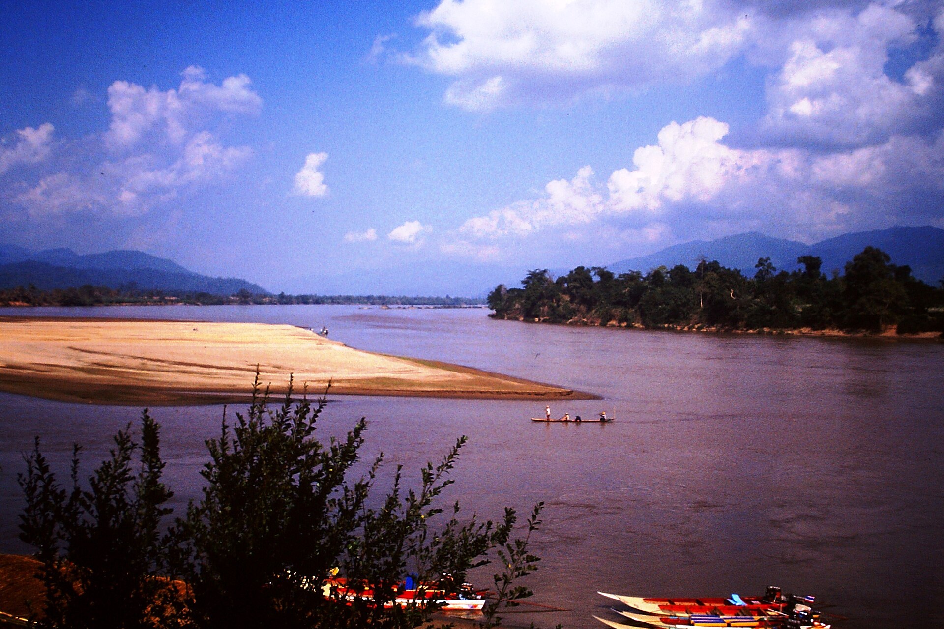
The Golden Triangle where Thailand, Laos, and Myanmar meetEasy

Northern Thailand, Thailand

Chiang Rai Golden Triangle Trek

A gentle hill trek through Akha and Yao villages above the Mekong, ending where Thailand, Laos, and Myanmar meet.

3 Days·1,200 m
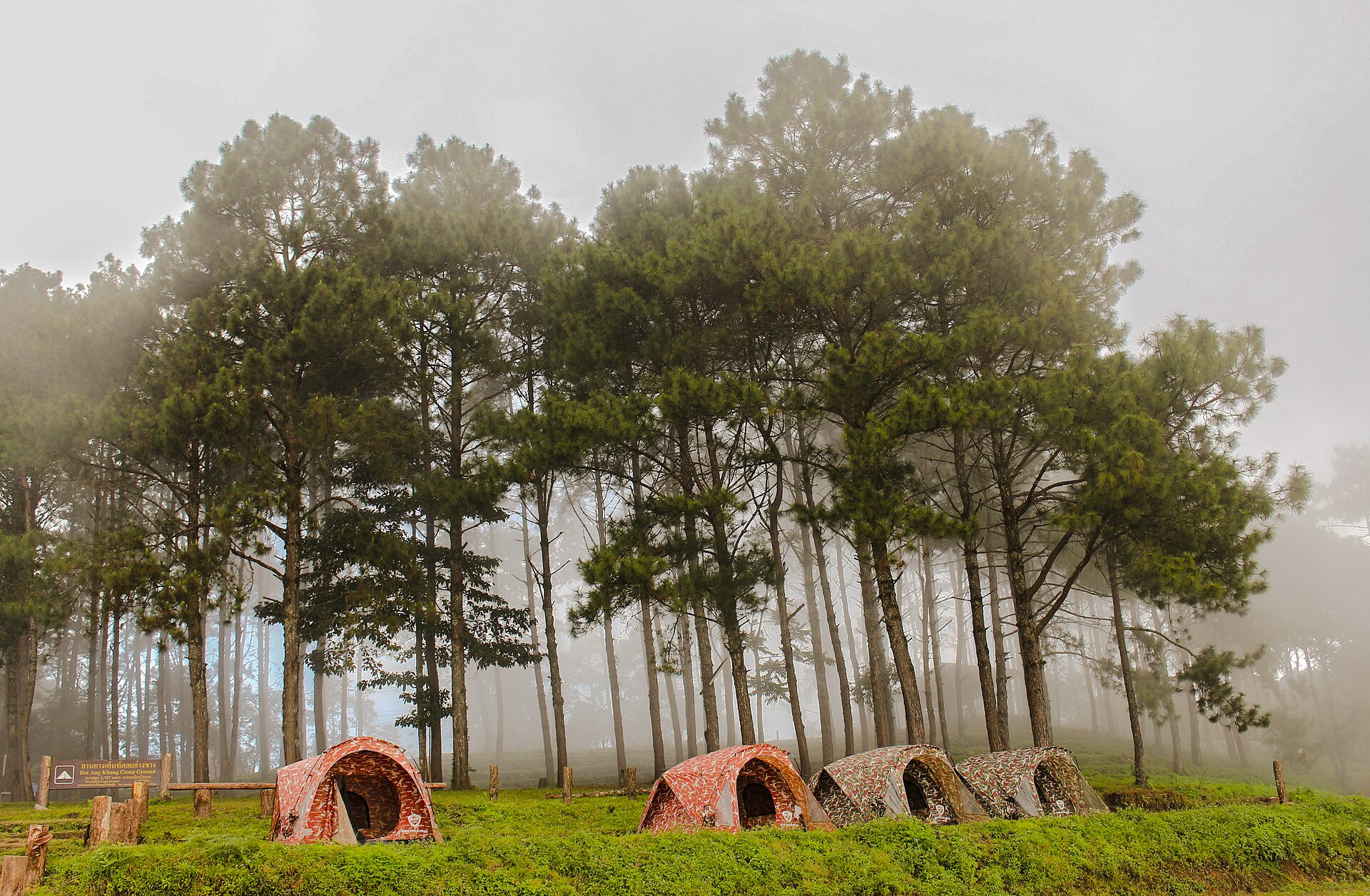
Tea plantations on the slopes of Doi Ang KhangEasy

Northern Thailand, Thailand

Doi Ang Khang Tea Trail Trek

A cool-climate walk through terraced tea and coffee plantations on a highland ridge near the Myanmar border.

2 Days·1,928 m
Cloud forest at the summit of Doi Inthanon, Thailand's highest peakEasy

Northern Thailand, Thailand

Doi Inthanon Summit Trek

A gentle climb through cloud forest to the roof of Thailand, past twin royal pagodas and a Karen hill-tribe village.

2 Days·2,565 m

Ready to trek Doi Chiang Dao Trek?

Share your travel dates and group size — we'll take care of permits, logistics, and local support.

Contact Us