Tripcamps
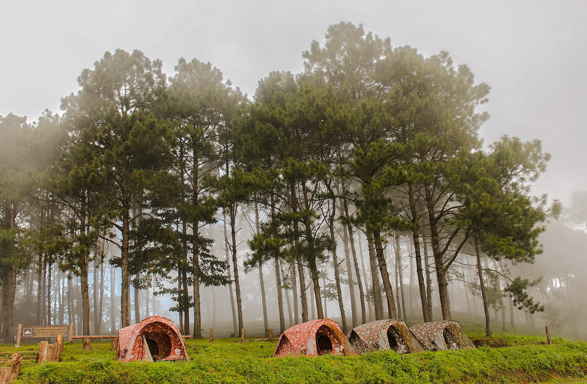
Tea plantations on the slopes of Doi Ang Khang
Easy

Doi Ang Khang Tea Trail Trek

A cool-climate walk through terraced tea and coffee plantations on a highland ridge near the Myanmar border.

Photo: Ditsakul (CC BY-SA 3.0) · source

2 DaysDuration
1,928 mMax Altitude
15 kmDistance
November, December, January, FebruaryBest Season

Doi Ang Khang sits at the far northern edge of Thailand’s trekking country, a highland ridge close enough to the Myanmar border that the view from its viewpoints often takes in another country entirely. What sets this trek apart from its neighbours is agriculture rather than jungle or limestone — the mountain hosts a Royal Project agricultural station established decades ago to research alternatives to opium poppy cultivation, and its terraced tea and Arabica coffee plantations now define the landscape.

The walking itself is easy and scenic, following ridge trails between plantations and patches of pine forest, with a stop at a Lahu hill-tribe village along the way. Because of its elevation, close to 1,930m, Doi Ang Khang has a noticeably cooler climate than most of Thailand, and in the coolest months of December and January, cherry blossoms bloom along parts of the ridge, drawing domestic visitors as much for the flowers as the mountain views.

This is a gentle trek best suited to travellers who want highland scenery, agricultural and cultural interest, and cool-climate relief in an easy two-day format. The dry, cool season from November to February is the best and most reliable window, both for clear border views and comfortable trekking temperatures.

Highlights

  • Terraced tea and Arabica coffee plantations at altitude
  • Views into Myanmar from the Doi Ang Khang ridge
  • A royal agricultural station showcasing highland crop research
  • Cherry blossoms in bloom during the coolest months

Day-by-Day Itinerary

  1. 1

    Day 1: Fang to Doi Ang Khang ridge trail

    Drive from Fang up to the Doi Ang Khang highlands, walking an 8km ridge trail through tea plantations and pine forest with views toward the Myanmar border.

  2. 2

    Day 2: Royal Project station and village walk

    A short 7km walk through a Lahu hill-tribe village to the Royal Agricultural Station, learning about highland crop projects before the return drive to Fang.

How to Reach

Doi Ang Khang is accessed via the town of Fang, roughly 3 hours' drive north of Chiang Mai, from where a private transfer climbs the mountain road to the highland ridge.

Permits & Essentials

No special permit is required; being a border-adjacent area, groups are advised to stay on marked trails near checkpoints.

More treks in Northern Thailand

The Golden Triangle where Thailand, Laos, and Myanmar meetEasy

Northern Thailand, Thailand

Chiang Rai Golden Triangle Trek

A gentle hill trek through Akha and Yao villages above the Mekong, ending where Thailand, Laos, and Myanmar meet.

3 Days·1,200 m
The limestone massif of Doi Chiang DaoDifficult

Northern Thailand, Thailand

Doi Chiang Dao Trek

A steep climb up Thailand's third-highest peak, a dramatic limestone massif with wild orchids and panoramic ridge camping.

3 Days·2,175 m
Cloud forest at the summit of Doi Inthanon, Thailand's highest peakEasy

Northern Thailand, Thailand

Doi Inthanon Summit Trek

A gentle climb through cloud forest to the roof of Thailand, past twin royal pagodas and a Karen hill-tribe village.

2 Days·2,565 m

Ready to trek Doi Ang Khang Tea Trail Trek?

Share your travel dates and group size — we'll take care of permits, logistics, and local support.

Contact Us