
Tripcamps
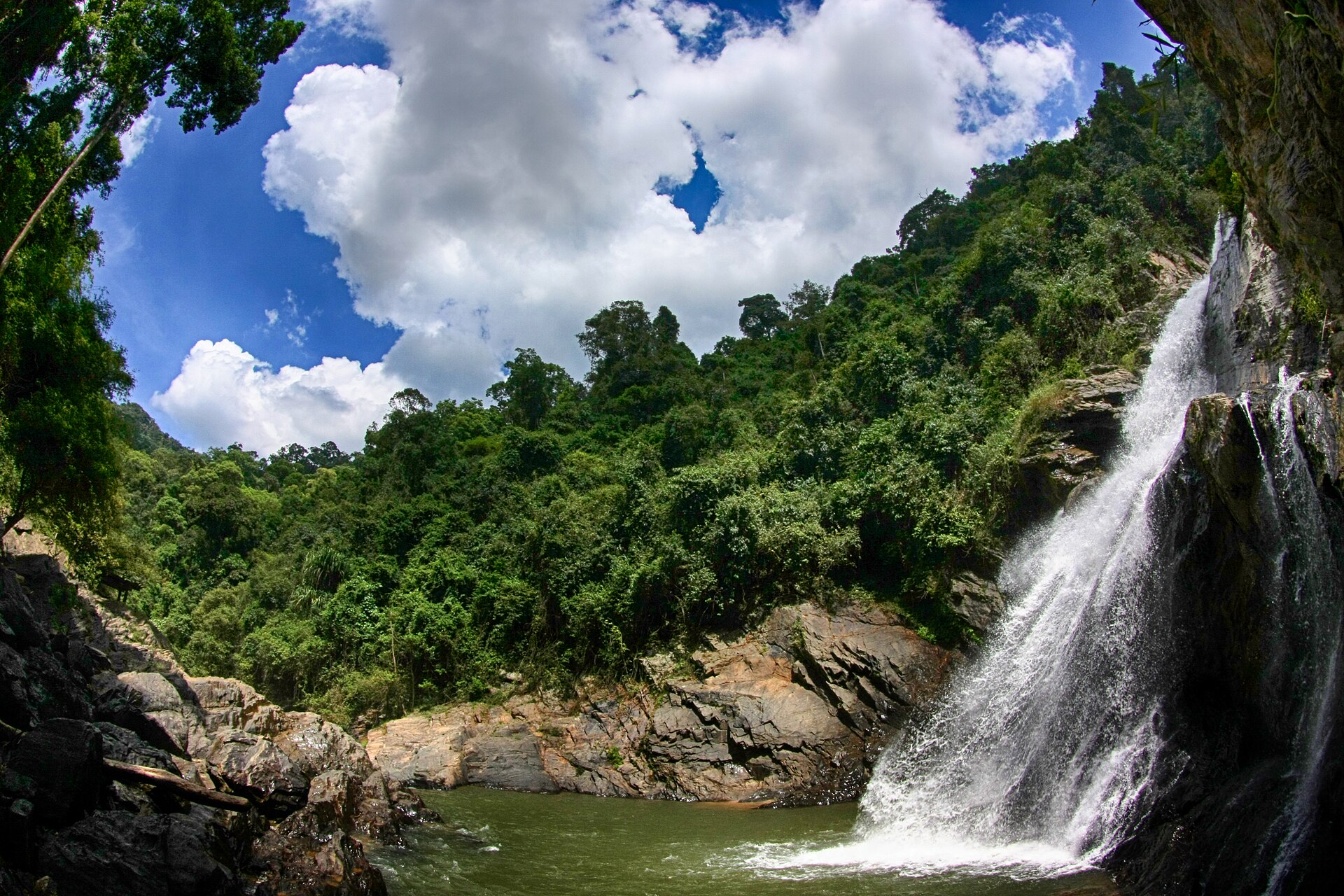
Cloud forest slopes of Khao Luang National Park
Difficult

Khao Luang National Park Trek

A demanding climb to the southern peninsula's highest peak, through cloud forest rich with fruit trees, orchids, and rare birdlife.

Photo: Chaiyathat (CC BY-SA 4.0) · source

3 DaysDuration
1,835 mMax Altitude
24 kmDistance
January, February, MarchBest Season

Khao Luang is the highest point on the Thai peninsula south of the isthmus, and its trek is the most physically demanding of Tripcamps’ Thailand routes — a steep, sustained climb through increasingly rugged cloud forest to a summit ridge at 1,835m. Unlike the boat-assisted rainforest routes at Khao Sok, this is a self-propelled mountain trek in the traditional sense, with real elevation gain and a genuinely wild, lightly-trafficked trail.

The lower and middle slopes are known for their wild fruit trees — durian, rambutan, and mangosteen grow wild here, a reminder that Nakhon Si Thammarat province is one of southern Thailand’s most productive fruit-growing regions — while the upper cloud forest supports rare orchid species and some of the richest birdlife anywhere in southern Thailand, drawing dedicated birdwatchers as much as trekkers.

Because the trail is steep, less maintained, and closes for much of the year during the region’s long wet season, this trek is only offered in a narrow window from January to March, when conditions are driest and safest. It’s the trek Tripcamps recommends for experienced hikers looking for a genuine physical challenge and a wilder, quieter alternative to the more visited rainforest and lake circuits nearby.
Highlights

  • Summit of Khao Luang, the highest peak on the Thai peninsula at 1,835m
  • Cloud forest with wild durian, rambutan, and orchid species
  • Some of the richest birdlife in southern Thailand
  • A steep, less-trekked alternative to the region's rainforest-lake routes

Day-by-Day Itinerary

  1. 1

    Day 1: Nakhon Si Thammarat to base camp

    A steep 10km climb through lowland and mid-elevation rainforest, rich with wild fruit trees, to a forest base camp at around 1,200m.

  2. 2

    Day 2: Base camp to summit ridge camp

    A demanding 9km push through cloud forest and increasingly rugged terrain to a ridge camp near the 1,835m summit, with sunset and sunrise views across the peninsula.

  3. 3

    Day 3: Descent to Nakhon Si Thammarat

    A long descent of around 5km back through the forest trail to the trailhead, returning to Nakhon Si Thammarat by evening.

How to Reach

Nakhon Si Thammarat has its own airport with domestic connections, or is reachable by road or rail from Surat Thani and other southern Thai transport hubs.

Permits & Essentials

A national park permit and mandatory local guide are required given the steep, less-maintained trail; the wettest months (April–December) see the route closed or discouraged due to slippery conditions.

More treks in Southern Thailand

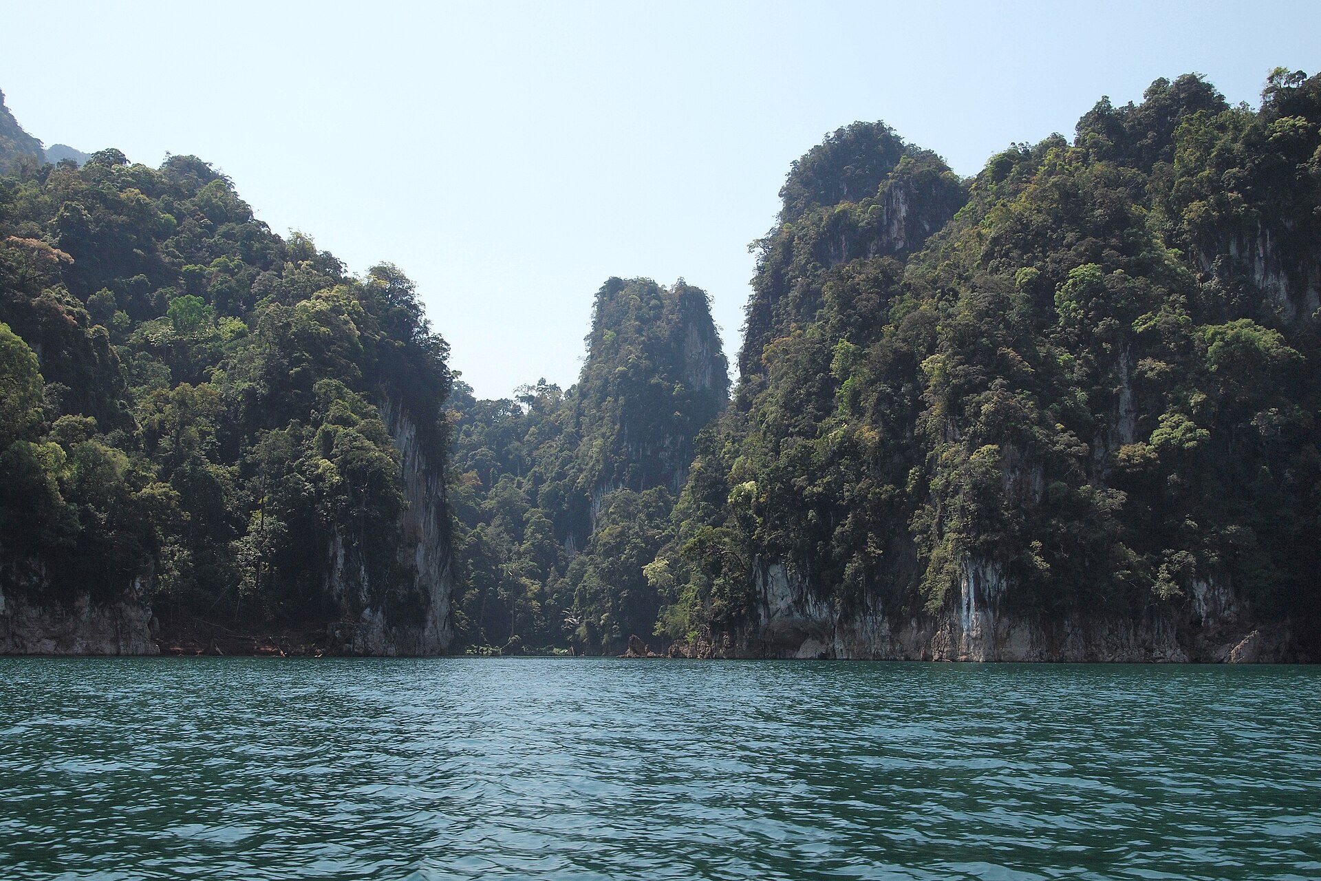
Limestone karsts rising over Khao Sok's rainforestModerate

Southern Thailand, Thailand

Khao Sok Rainforest Trek

A jungle trek through rainforest older than the Amazon, ending with a longtail-boat crossing of Cheow Lan Lake past towering limestone karsts.

3 Days·960 m

Ready to trek Khao Luang National Park Trek?

Share your travel dates and group size — we'll take care of permits, logistics, and local support.

Contact Us